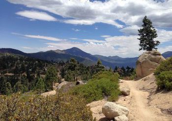
The Rathbun Creek Trail in Moonridge
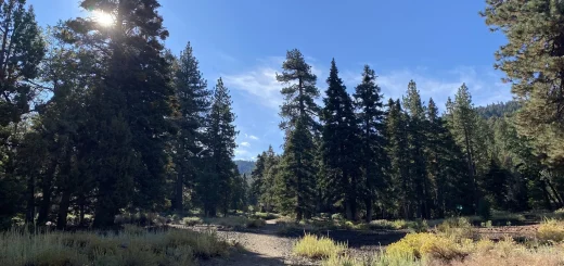
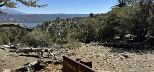
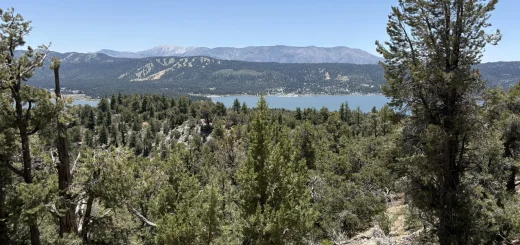
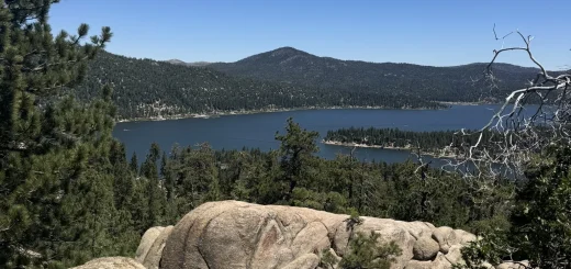
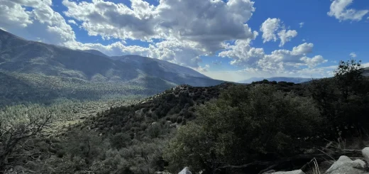
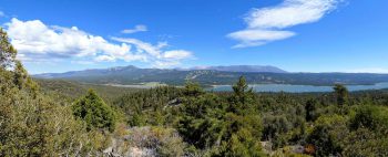
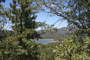
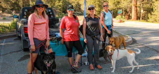
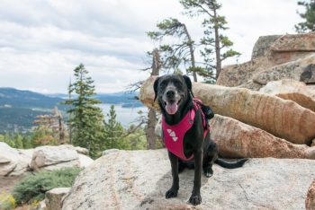
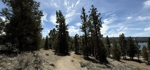
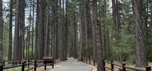
The Rathbun Creek Trail in Moonridge The Rathbun Creek Trail is a fully paved, 1.1-mile multi-use path located in the Moonridge corridor of Big Bear Lake, California. Rated as “Very Easy,” it is one of the few trails in the...