Tough Mudder Big Bear | Mud Run & Obstacle Race
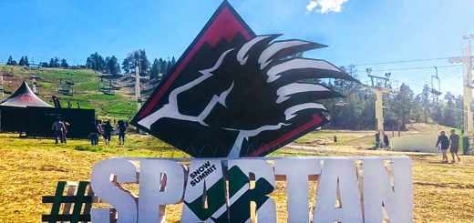
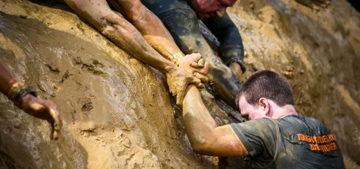
Tough Mudder Big Bear | Mud Run & Obstacle Race Get amped, Mudders. 2026 is almost here and with it comes great rewards, epic venues, more teamwork moments, and — of course – mud. Big Bear’s rugged mountain landscape is perfect for...