


Bear Lakes and Round Lake Loop
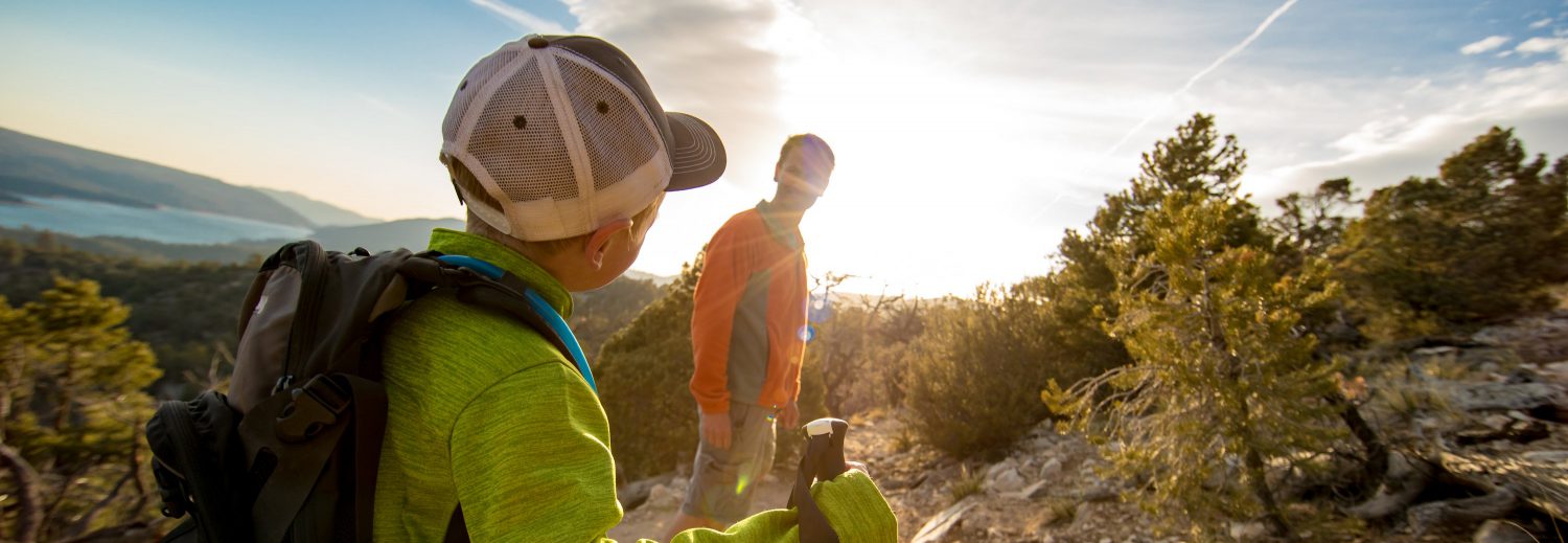
Bear Lakes and Round Lake Loop The Bear Lakes and Round Lake Loop is a 6.9 km (4.3-mile) moderate loop trail located in Plumas National Forest. The trail takes hikers through the scenic Lakes Basin, featuring beautiful alpine lakes, forested...


